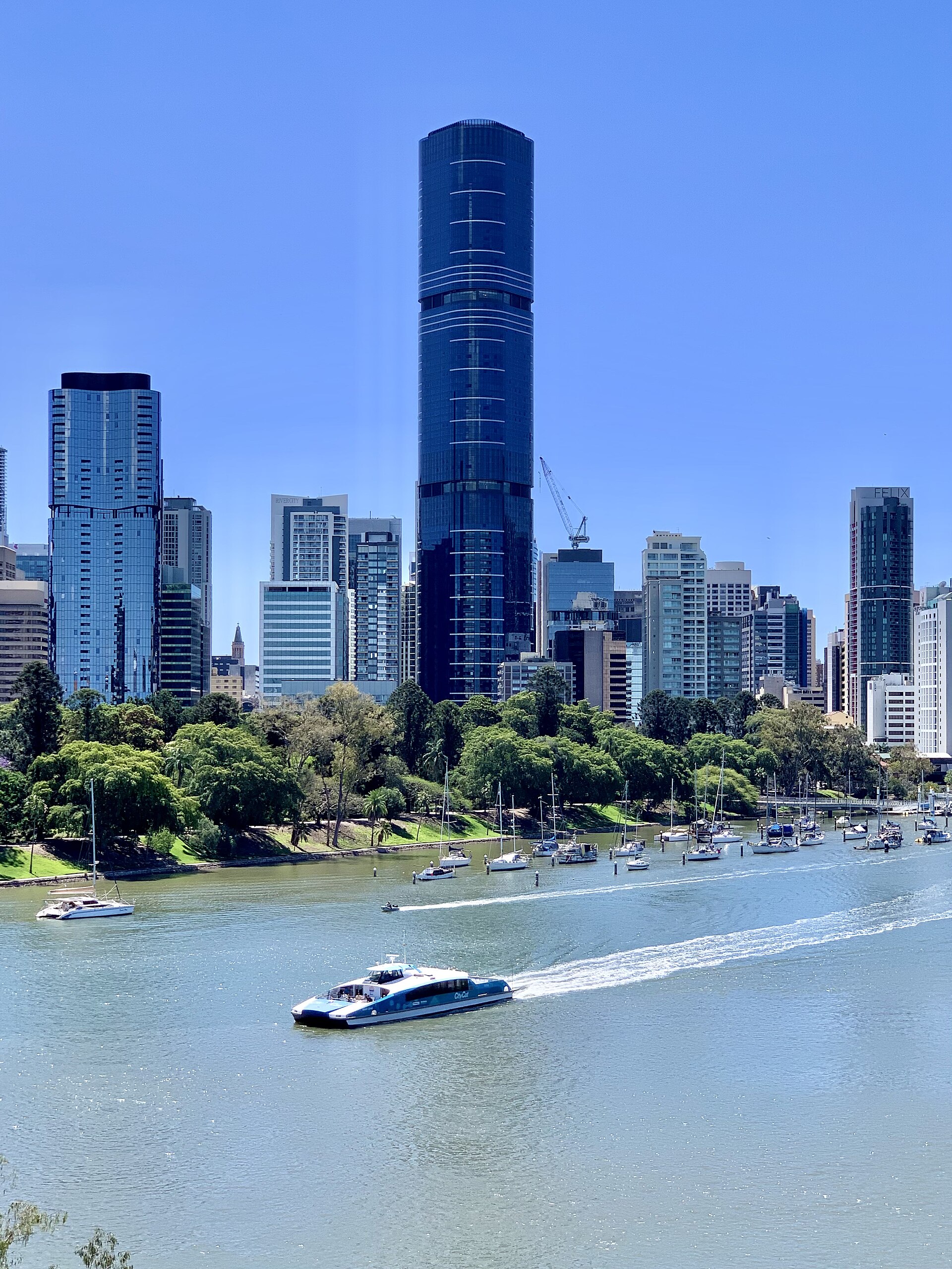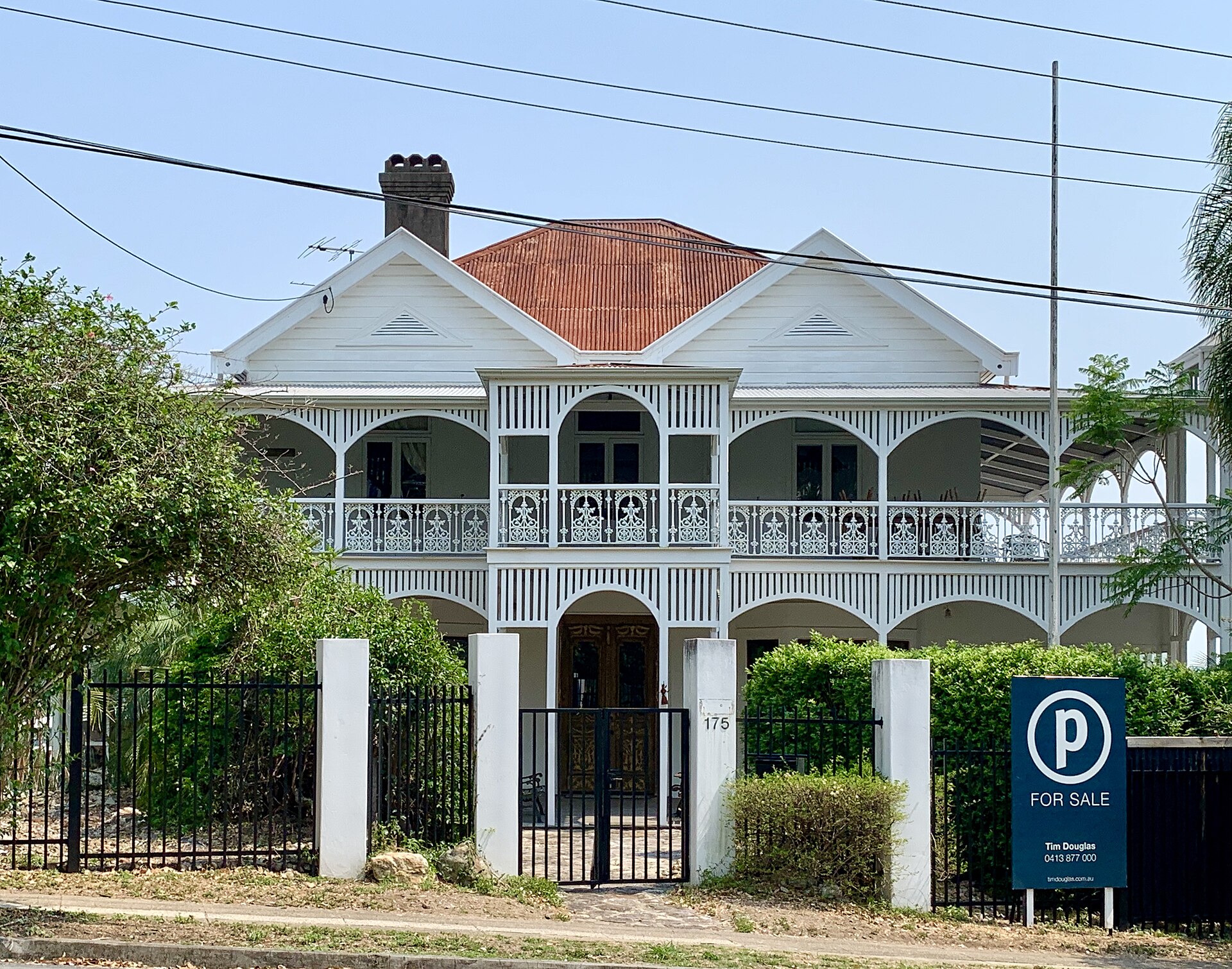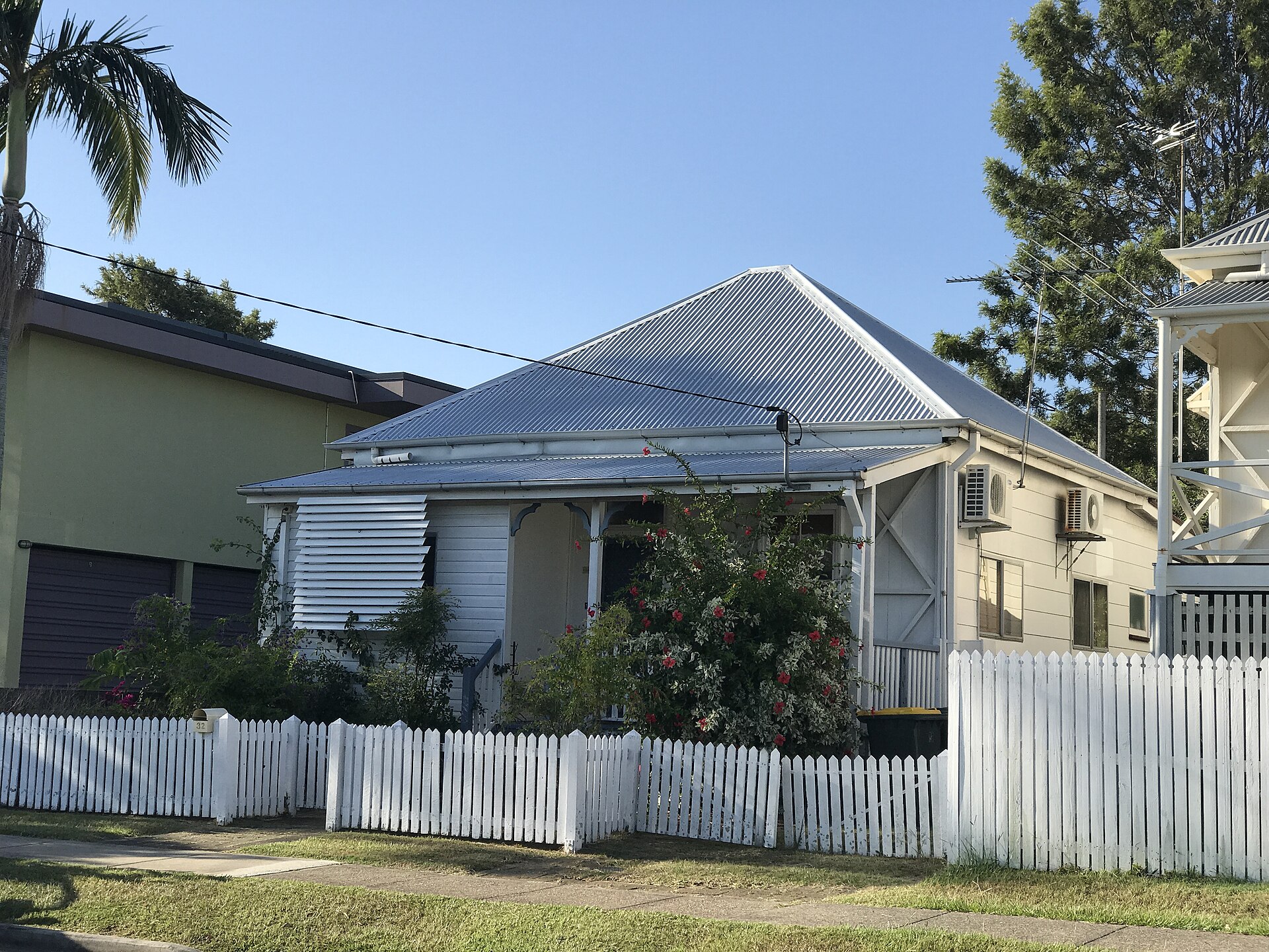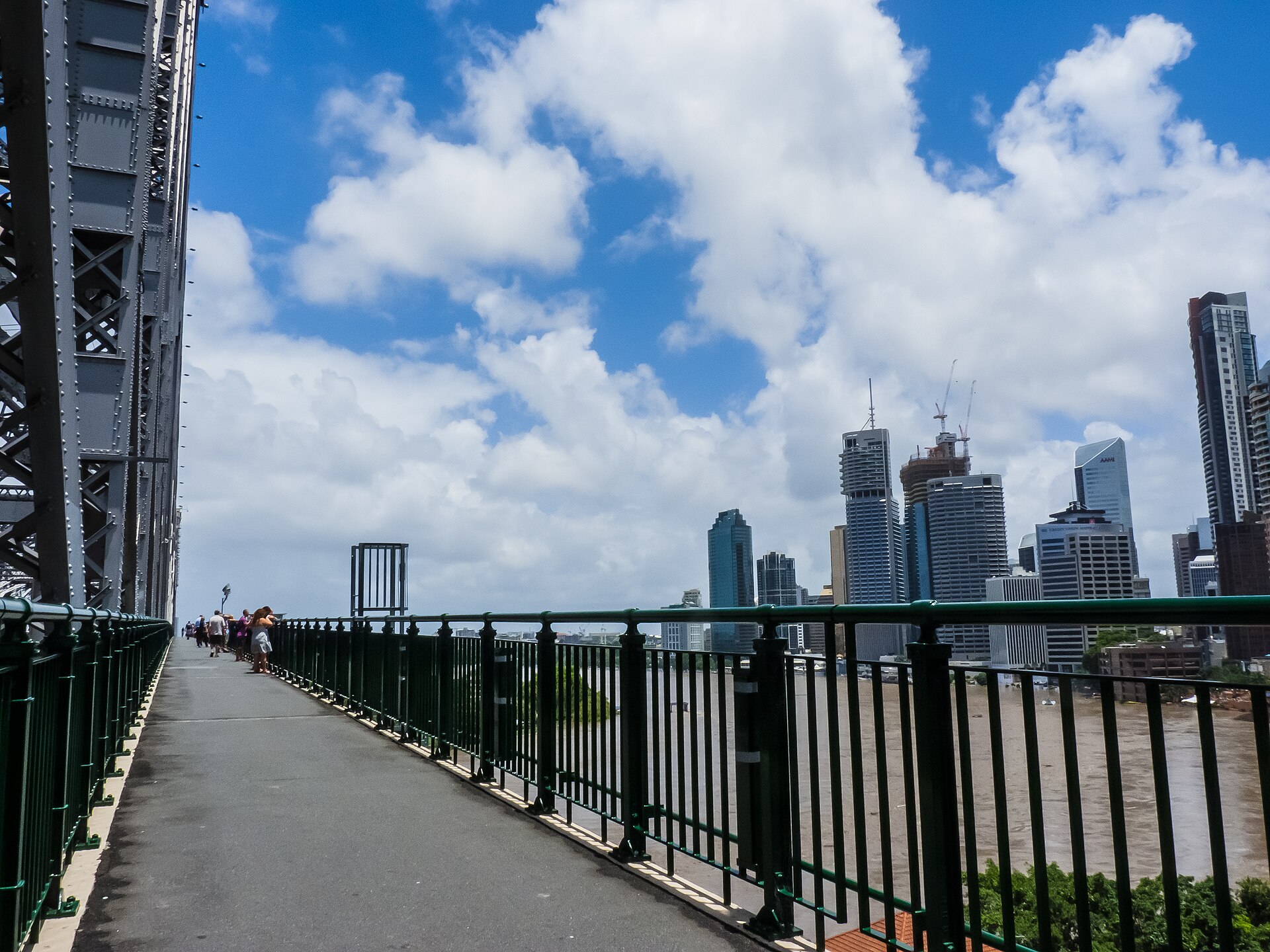
Greater Brisbane is a river city with a creek habit and a western edge that still remembers fire. The planning schemes have spent twenty years trying to write those facts into maps. Owners still buy lots as if the maps were optional colour. Then a private certifier mentions a flood planning level, or a bushfire-attack rating, and the display-home plan that fitted the brochure no longer fits the pad.
The maps are not perfect. They are better than a vendor's memory of "the water never came up here." They are also not the same thing as an insurance premium. Council mapping, state mapping and the insurer's own model can disagree about the same back yard. Your job is to read all three before the deposit on the land becomes sentimental.
This is a field guide to the two overlays that most often rewrite a house: flood and bushfire. It sits with Council approvals and with neighbours, easements and siting. Water and fire do not care about your fence. They care about grade.
FloodAware, and the mistake of reading a single colour
Brisbane City Council's FloodAware tool is the public face of the city's flood knowledge. You enter an address and you are shown whether the lot is affected by flooding from the Brisbane River, from a creek, from storm-tide, from overland flow, or from some combination. You are also shown planning information: a defined flood event, a flood planning level, sometimes a flag that a more detailed study exists.
Owners look for a green parcel and relax. The useful reading is slower. Which source? How deep in the defined event? Is the water in a mapped waterway corridor or is it a sheet that arrives through a neighbour's yard? Has fill already been placed, and was it placed to a level the current study still believes? A lot that was "filled above the 2011 line" can sit below a later study. The 2022 event taught that lesson again, in suburbs that had begun to talk as if 2011 were folklore.
FloodAware is a Brisbane City Council product. It does not speak for Ipswich, Logan, Moreton Bay, Redland or the Somerset hinterland. Using it to reassure yourself about a lot in Goodna or Caboolture is a category error.
Print the report. Put it with the soil certificate and the City Plan extract. If the selling agent has a different map, keep both. Disagreement is information.
Creek, river, storm-tide, overland flow
The Brisbane River flood is the one the city photographs. It is a regional event: a catchment from the ranges, a dam decision, a tide, a slow rise that enters houses from the street as much as from the bank. West End, Rocklea, Graceville, Fairfield, parts of New Farm and Bulimba, the low pockets of the western suburbs — the names are known because the water has been there more than once. A river-flood lot can be buildable. The house will sit higher, the garage may be designed to flood, the services will be placed with a level in mind. The insurance conversation will be longer than the sales conversation.
Creek flooding is a different physics. Kedron Brook, Breakfast Creek, Norman Creek, Cubberla, Witton, the dozens of named and unnamed tributaries, rise faster. The warning time is shorter. The water is shallower than a river at its worst and more violent at a culvert. A house that is "only" creek-affected can still lose a kitchen. Creek corridors in City Plan are often also biodiversity or waterway overlays, which means the planning argument is about more than a floor level.
Storm-tide is a coastal and tidal-creek problem: Moreton Bay, the lower river, the low streets of the bayside. It combines a tide with a weather system. A lot that looks inland on a street directory can still be in a storm-tide area if the drain runs to the bay.
Overland flow is the overlay owners miss. It is the water that does not wait for a named creek. It comes down a swale, a driveway, a rear fence line, after a Brisbane afternoon storm that the river has not noticed. It is often shallow. Shallow water through a habitable room is still a ruined house. Overland-flow mapping is also the one most likely to have been altered by a neighbour's retaining wall or a developer's fill. If the map and the ground disagree, believe the ground enough to hire someone who can survey it.
Do not let a builder shrug "we'll put it on piers" as a complete answer. Piers are a structure. They do not decide where the water goes after it leaves your floor. Displacement, fencing, a filled pad that turns your lot into a weir for the neighbour — these become siting fights that an overlay should have predicted.
Freeboard is not a vibe. It is a number with a source
A flood planning level is the defined event plus freeboard. Freeboard is the extra height the scheme demands so that a wave, a blockage, a study error or the next slightly worse storm does not sit on your floorboards. In Brisbane and under the Queensland Development Code the extra is commonly in the order of 300 millimetres for some flow types and 500 millimetres for others. Those figures are the habitual range, not a substitute for the overlay code that applies to your lot. River, creek, storm-tide and overland flow can carry different freeboards in the same street.
The finished floor of a habitable room is the number that matters. Garages, laundries and "rooms that could later become bedrooms" are where people cheat and later meet a certifier, or an insurer, who can read a plan. If you intend to enclose under a Queenslander, you are changing the flood arithmetic. Renovations in character suburbs do this constantly. Do it with the overlay open.
A house can meet the flood planning level and still be a bad place to live. Access is the neglected test. If the only road out is under two metres of river, you have a dwelling that becomes an island. School, work and a hospital are not theoretical in a long event. Walk the evacuation route on a dry Saturday and imagine it at night.
Fill to achieve a level has its own costs and its own neighbours. Compacted fill is a site classification problem as much as a flood problem. Budget it in the land column, not as a surprise variation in week three.
Bushfire, BAL ratings, and the edge of the city
Bushfire-prone area mapping in Queensland sits under the State Planning Policy and is then given local life in each planning scheme. The construction response is AS 3959, the Australian Standard that assigns a Bushfire Attack Level: BAL-LOW, BAL-12.5, BAL-19, BAL-29, BAL-40, and BAL-FZ (flame zone). The number is a statement about radiant heat, ember attack and whether flame is expected at the building.
Inner Brisbane is mostly BAL-LOW or unmapped for bushfire. The exceptions are real: pockets against Mt Coot-tha and the western foothills, remnants at the edge of Toohey Forest, riverside bush that looks like a park until a September westerly. Move toward Samford, Dayboro, Mount Crosby, the D'Aguilar Range, parts of Redland and the peri-urban belt of Moreton Bay, and BAL stops being a curiosity. A pretty acreage with a gum forest for a backyard is a construction standard.
BAL changes the house. Ember screens, tougher windows, roof details that do not collect leaf, cladding that can take radiant heat, a setback from the hazard that may eat the building envelope you thought you had. BAL-40 and flame zone are specialist jobs. A project builder whose system was designed for a treeless estate in Ripley is not automatically a BAL-29 builder in a forested gully. Ask for completed houses at the same rating, not a promise to "do the bushfire stuff".
A site-specific bushfire-attack-level assessment can lower — or raise — the rating that a crude overlay suggested. Pay for one before you date a building contract, not after the standard plan has been lodged. Vegetation you intend to clear is not vegetation the assessor can ignore if the scheme or a covenant says it stays. Clearing for BAL can also trip a vegetation overlay. The maps talk to each other.
Queensland Fire Department access, static water on some lots, and a driveway that a tanker can use are part of the same conversation. A steep, pretty battleaxe is a fire-engineering problem disguised as a lifestyle listing.
Moreton Bay, Ipswich, Logan: same physics, different drawers
The growth corridors are where first-home money and overlay risk meet. Ipswich lives with the Bremer and the Brisbane, with creeks that drain a hard western sky, and with a memory of 2011 that is not theoretical in Goodna, Bundamba, Rosewood and the low parts of the old city. Ipswich City Council's flood mapping and planning scheme are the documents. FloodAware is not.
Logan City Council maps the Logan and the Albert, plus a dense network of creeks through a city that has urbanised faster than some of its pipes. Overland flow in a new estate can be a designed swale or a surprise at the back of a courtyard. Read the estate's hydraulic reports if they exist. If they do not, ask why.
Moreton Bay City Council — the former regional council in a new suit — covers a tidal coastline, the Pine and Caboolture systems, and a hinterland that wears both flood and bushfire. A lot at Newport and a lot at Closeburn do not share a risk. The scheme knows that. A single "Moreton Bay" search on a property app does not.
Redland and the scenic rim have their own studies. The state interest remains: the State Planning Policy expects councils to map natural hazards and to keep people out of the worst of them. A council boundary is not a levee.
Wherever you are, the method is the same. Council overlay map. Any state mapping that applies. A surveyor or engineer if the house is close to the line. The certifier's view of the Queensland Development Code mandatory parts that deal with flood and with construction in bushfire-prone areas. Then, and only then, the facade.
Insurance is a third map, and it can veto the other two
Insurers are not bound to adopt Council's defined flood event. They run their own models, or they buy a model, and they decide whether to offer flood cover, at what excess, and at what price. A lot that is "within the planning rules" can be expensive to insure or, in a hard market, difficult to insure on terms a lender will accept. Lenders have their own habits about flood and fire. A construction facility can be easier than a final mortgage if the valuer reads a report you did not.
Ask for an insurance indication before you go unconditional on the land, not at first occupancy. Take the address, the proposed floor level and the overlay printout to a broker who will actually quote, not nod. Bushfire BAL can also move a premium, and some insurers are fussy about timber cladding and about lots with a single access road.
The 2011 and 2022 floods changed the market more than they changed the river. Some households discovered they had flood exclusion they had never read. Some discovered they had cover and still waited a year for a builder. Insurance is not a construction method. It is a financial residual after the house has failed a test you could have read on a map.
If the only way the numbers work is to skip flood cover, you do not have a cheap lot. You have an uninsured residual sitting on the largest asset you will own.
Stand on the low corner before you go unconditional. Look uphill. Ask where the last serious water went, then treat the answer as folklore until the map agrees. If the lot still makes sense, take the reports to the person who will certify the house and to the person who will price the footings. A fixed price that excludes flood-related fill and BAL upgrades is not a price.
For the rest of the legal machinery, stay in approvals. Overlays are not a personality test for the suburb. They are the suburb telling the truth in GIS. Believe them early enough that the house can be designed for what the land already does.
Frequently asked questions
If FloodAware shows my lot as affected, can I still build a house?
Often yes, with a floor level, a form of construction and sometimes a planning argument that match the flood source. The overlay is a design instruction, not always a prohibition. It becomes a prohibition when the scheme, a covenant, or an insurer who will not quote, says so.
Is creek flooding the same risk as Brisbane River flooding?
No. River flooding is slow, deep and regional. Creek flooding is faster and local. Overland flow is shallower, nastier to habitable rooms, and easy to miss on a sales plan. Each source has its own planning level and its own freeboard habit.
Do Moreton Bay, Ipswich and Logan use Brisbane's maps?
No. Each council keeps its own flood studies and overlay maps, and the state planning policy sits over all of them. A lot on the Ipswich side of a boundary can wear a different line to the lot opposite. Read the scheme that actually applies.